(Un)Clearcut

(Un)Clearcut

In British Columbia a complex forest management system leaves old growth vulnerable to logging.

210B8599.jpg

My latest reporting (text and photography) from the Caribou Rainforest just published in Earth Island Journal. The piece explores how the provinces Old Growth Management Areas have failed to protect old growth across the province due in large part to loopholes in the legislation and a complete lack of government oversight of the forest industry.

210B9925.jpg
210B9447.jpg

Cascades Wolverine Project Update

Cascades Wolverine Project Update

Its been a good winter thus far for the Cascades Wolverine Project. We currently have 7 installations running in three different watersheds in the North Cascades and have four wolverine detection thus far, two by photographs, and two by tracks.

Loss and Love in the Caribou Rainforest

Loss and Love in the Caribou Rainforest

Note: On October 25th I had the opportunity to participate in Ampersand Live: An Evening of Storytelling About People and Place, sponsored by Forterra, a land conservancy in western Washington. I had the honor to share the stage with a number of amazing Northwestern artists. With only five minutes to share stories and show images about the Caribou Rainforest, I thought about what I could share that would connect people with this place and the story of its inhabitants….these are my remarks from the evening.

Arctic Light in the Arrigetch Peaks, Brooks Range, Alaska

In July and August, I was part of a team of four people who made a mountaineering pilgrimage to the most northern mountain range in North America. The central Brooks Range (Gwazhał in Athabaskan) is the traditional territory of the Inupiaq-speaking Kuuvanmiit and Nunamiut people and the Athapaskan-speaking Koyukon. Today, the landscape we visited is in included in Gates of the Arctic National Park.

Forest McBrian, Steph Williams, Drew Lovell and myself spent 3 weeks exploring the Arrigetch Peaks region which comprises two drainages of the Alatna River. My first trip to the Arctic, learning about the beautiful long and low light of summer in the far north was amazing as a photographer. Here are a few shots celebrating the season of light in this expansive and wild mountain range. 

Southern Selkirks Herd Declines But Efforts to Save Caribou and The Rainforest Continue

"Functional Extinction" But Most Definitely NOT Game Over.

Female caribou from the Southern Selkirks Herd from the summer of 2017. Photographed by David Moskowitz.

Female caribou from the Southern Selkirks Herd from the summer of 2017. Photographed by David Moskowitz.

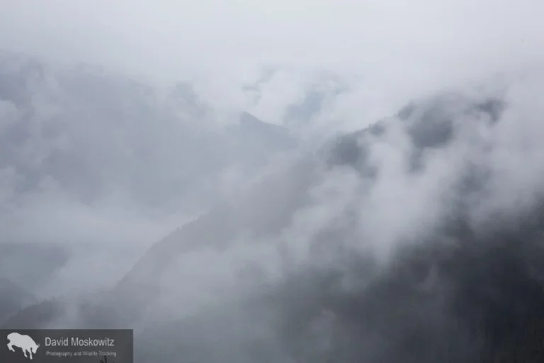
Many of you may have caught wind of the recent news about the continued decline of the Southern Selkirks herd, the last transboundary herd of Mountain Caribou. Their story was featured in articles in the New York Times in the United States and The National Post in Canada, both featuring an image from this project of one of the last animals from this herd.

While these two stories had catchy headlines, they generally missed that, for the tribes and  conservation groups working on this topic, it is most certainly not "game over". See this article in the Northwest Sportsman Magazine which includes an interview with Kalispell Tribal biologist Bart George, this press release put out by project partner Yellowstone to Yukon Conservation Initiative, and this blogpost from Conservation Northwest.

This news marks the start of a pivotal moment for the conservation of the Caribou Rainforest. Indigenous peoples legal rights to access these traditional animals are not just rolling over with this news. Now is a moment to continue to stay engaged in this topic in support of their legal rights and our society's moral obligations.

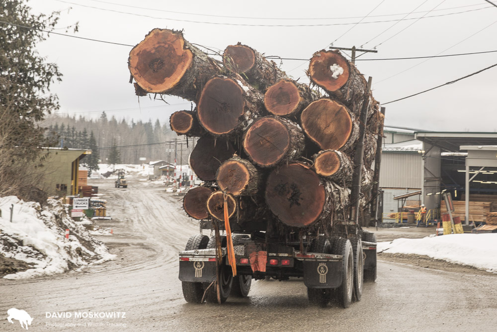
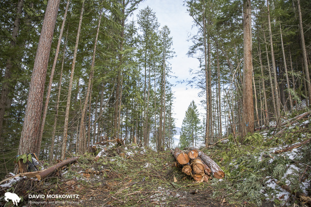
With the potential demise of this and a number of other herds, habitat protected for them could go back on the chopping block. This ecosystem, for which the caribou is emblematic, will need protection with or without caribou. Along with our continued support of caribou specific conservation efforts, we must also seize this moment to grow our message to focus consistently on the Ecosystem rather then just the species.

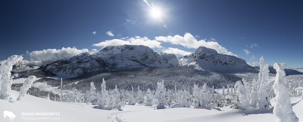
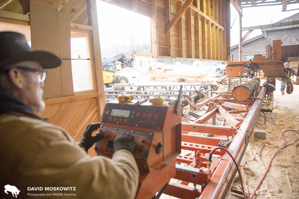
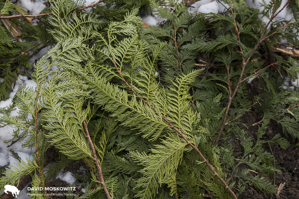
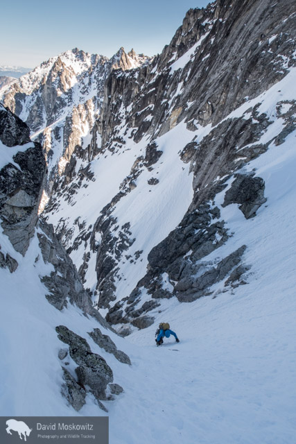
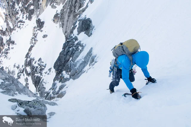
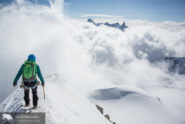
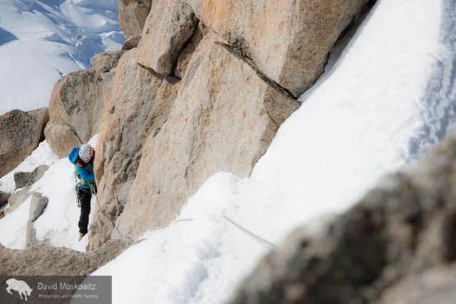
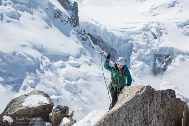
To that end, I am excited that the photography book which is the culmination of much of the work of this project will be out this fall. Our film, Last Stand: The Vanishing Caribou Rainforest, is an expose of the destruction ongoing in this ecosystem. The Caribou Rainforest: From Heartbreak to Hope, published by Braided River, is our attempt to celebrate and highlight this amazing and overlooked ecosystem, one of the most unique forest ecosystems on planet Earth. With or without caribou, The Caribou Rainforest is a place worth protecting. For all the other creatures that call this place home, for all the people whose lives and cultures are tied to it, and for everyone who depends on a stable climate and cares about what future generations will be inheriting from us.

This fall, along with the release of the book and a renewed schedule of slideshows and film screenings we will be releasing the film for online viewing in order to get these two messages out as far and wide as possible.

We continue to be grateful for all the support we have received up to this point and continue to look for funds and opportunities to get our material and message out as far and wide as possible. Braided River is currently fundraising to support outreach activities aligned with the release of the book.

More work ahead. We carry one.

Field Notes: Winter in the Monashee Mountains

Photos and text by David Moskowitz. Expedition partners: Steph Williams and Forest McBrian.

A Fruitless Search For Caribou

We go to the mountains searching for answers. We go to the forests looking for clues. We watch the clouds roll across the peaks, keen to see what the universe will deliver on the wind. We scan the snow for the tracks of elusive creatures of the wild wonder about their lives when we find them and their absence when we don’t.

Back home, developing images of stark landscapes Carved by forces beyond our comprehension Turned to black and white and every shade of grey in between. Their is a haunting beauty in precarious landscapes Unsettled times What’s missing from our maps? What’s hidden in the clouds? When will these mountains come tumbling down?

_10B7956
_10B7956
_10B7992
_10B7992
_10B8097
_10B8097
_10B8005
_10B8005
_10B8217
_10B8217
_10B8964
_10B8964
_10B8661
_10B8661
_10B8915
_10B8915
_10B9451
_10B9451
_10B9109
_10B9109
_10B9499
_10B9499
_10B9540
_10B9540
_10B8406
_10B8406

What is conservation? A View Into the Human Economy in the Heart of Mountain Caribou Country

What is conservation? A View Into the Human Economy in the Heart of Mountain Caribou Country

Revelstoke is a small city in the heart of the Columbia Mountains, about an hour west of Rogers Pass on the Trans Canada Highway. During my recent stay in Revelstoke, British Columbia, the most thoughtful description of the economy was shared with me by Michael Copperthwaite, the General Manager of the Revelstoke Community Forest Corporation. He described it as a resource extraction town with a veneer of ecotourism. A few days in town will confirm that both of these industries have a strong presence in the community. You can watch log trucks, loaded with old growth cedar, roll by to the mill on the south end of town, while stop by one of several excellent coffee shops before your hike, climb, ski, or mountain bike ride. Your helicopter flight to a day of heli-skiing might take you over the hydropower dam on the Columbia River, 5 minutes outside of town. Your day of lift access skiing at the local resort will provide you outstanding views of mountainsides oddly decorated with a patchwork of clearcuts, spreading out in every direction around town. There are two national parks right outside of town, one of which is bisected by the Trans Canada Highway, Canada's most important ground transportation route.

Deep powder snow, and seemingly endless mountains to explore it in, attracts the booming winter tourism economy in Revelstoke. Colin Arisman carves some powder in Glacier National Park.

Deep powder snow, and seemingly endless mountains to explore it in, attracts the booming winter tourism economy in Revelstoke. Colin Arisman carves some powder in Glacier National Park.

Log truck carrying old growth logs into the lumber mill in Revelstoke British Columbia.

Log truck carrying old growth logs into the lumber mill in Revelstoke British Columbia.

Every inch of this landscape is traditional habitat for mountain caribou. Revelstoke is in the heart of inland temperate rainforest and, as any visitor will tell you, is very, very wet. Caribou here exhibit the double migration pattern typical of the 'mountain' ecotype: spending a chunk of the spring and fall in the valley bottoms, and the summer and winter at high elevations. The two caribou herds in the region are fairing quite differently. The Columbia South herd is heading quickly towards extirpation, with the province listing only 5 animals and having no plans to augment the herd. The Columbia North herd has been the focus of a great deal of attention, and by most estimates its size has “stabilized” with well over 100 animals. The general consensus is that its prospects are better than most.

Looking up through the canopy of old growth western red cedar forest. Though cutting of old growth in this area is still common, this particular stand, within the forest tenure of the Revelstoke Community Forest Cooperation, has been set aside and w…

Looking up through the canopy of old growth western red cedar forest. Though cutting of old growth in this area is still common, this particular stand, within the forest tenure of the Revelstoke Community Forest Cooperation, has been set aside and will not be cut.

During 2 weeks in town this winter, I interviewed and/or spent time in the field with folks working in the local timber economy, members of the local Revelstoke Snowmobile Club, and several folks involved in the heli-ski industry. I also met with the Board of Directors for the non-profit Revelstoke Caribou Rearing in the Wild project which is spearheading the experimental program north of Revelstoke to hold pregnant caribou in pens for the period before and after they give birth to protect the cows and calves from predators during the calving season. This project has received the wide support of just about every element of the local community and has served as an opportunity for collaboration and relationship building between various segments of the community who are traditionally at odds with each other.

A number of companies offer heli-skiing from Revelstoke, and the sound of helicopters flying is part of the winter ambiance in town and the mountains around it.

A number of companies offer heli-skiing from Revelstoke, and the sound of helicopters flying is part of the winter ambiance in town and the mountains around it.

Daniel Kellie (left), owner of Great Canadian Snowmobile Tours and president of the Revelstoke Snowmobile Club, and club members Ron LaRoy (center), and Brad McStay lean on the front of one of the clubs groomers used to maintain the network of …

Daniel Kellie (left), owner of Great Canadian Snowmobile Tours and president of the Revelstoke Snowmobile Club, and club members Ron LaRoy (center), and Brad McStay lean on the front of one of the clubs groomers used to maintain the network of snowmobile trails the club manages all winter. Daniel noted that interest in snowmobiling in the Revelstoke area is growing, adding pressure to the areas currently easily accessible and legally open to to snowmobiling, a number of which have known mountain caribou populations.

The long line waiting for the start of the ski lifts at Revelstoke Mountain Resort. The line was twice this long before the lifts started, as people wait for access to fresh high-mountain powder.

The long line waiting for the start of the ski lifts at Revelstoke Mountain Resort. The line was twice this long before the lifts started, as people wait for access to fresh high-mountain powder.

Kevin Bollefer, the operations forester for the Revelstoke Community Forest Corporation snowshoeing through one of the stands the corporation has recently harvested in. Kevin and the Community Forest are working on ways to carry out economicall…

Kevin Bollefer, the operations forester for the Revelstoke Community Forest Corporation snowshoeing through one of the stands the corporation has recently harvested in. Kevin and the Community Forest are working on ways to carry out economically viable timber harvest which minimize impacts on caribou. He explained that this is easier to do in locations with high value timber. Locations where the value of the trees is less means that clearcuts are often the only viable option for logging, a result of a combination of market forces and British Columbia’s forest management regime.

Another point that everyone agrees on is that the economy of this community is intimately tied to the natural resources that surround it, from the power of the Columbia River to the deep powder of the numerous mountain ranges. And everyone also understands that, economically, while things are well now, there are problems on the horizon that will need to be reckoned with. As Ian Tomm, Executive Director of the Heli-Cat Canada Association put it, in regards to the heli-ski industry specifically, “Everyone in this industry is pro-conservation. The trouble is in the details of what is conservation.” What is conservation? Each interest group I met with had their own ideas about the problems and potential solutions. Caribou conservation efforts have changed business as usual for everyone in this community, and for the most part everyone is looking forward and attempting to find ways to pro-actively adapt to the changing ecological and business climate.

A beautiful day high up in the Columbia Mountains north of Revelstoke, British Columbia.

A beautiful day high up in the Columbia Mountains north of Revelstoke, British Columbia.

Over the months to come myself and my collaborators will be returning to the area to collect more material for this story, and to learn more about the ecological interactions between mountains, rainforest, caribou, and humans in this stunning and confusing corner of mountain caribou country.

Ryan Dunford playing in the subalpine on a snowmobile in the Frisby Mountain, just west of Revelstoke.

Ryan Dunford playing in the subalpine on a snowmobile in the Frisby Mountain, just west of Revelstoke.

A Progressive Approach to Forestry In Mountain Caribou Country

Text and photographs by David Moskowitz At the northern end of the home range of the Southern Selkirks herd of Mountain caribou, a progressive experiment in community based forestry and watershed management has been underway for the past 25 years. I spent a morning out in the field with the forestry manager for the Harrop-Procter Community Forest, visiting a timber harvest. In the afternoon I visited their small scale mill where they process many of the logs they harvest, producing a variety of high value wood products.

Forestry manager Erik Leslie (left), reviews a map of the Community Forest’s tenure with two board members. The beautiful wood table in their office meeting room is built from wood from their mill.

Forestry manager Erik Leslie (left), reviews a map of the Community Forest’s tenure with two board members. The beautiful wood table in their office meeting room is built from wood from their mill.

Much of the low elevation forest managed by Harrow-Procter was burned over in the early 1900’s and is now dense second growth mixed conifer forest.

Much of the low elevation forest managed by Harrow-Procter was burned over in the early 1900’s and is now dense second growth mixed conifer forest.

While Community Forests make up only a small portion of the timber harvest allotment on public lands in British Columbia, they represent a significant move towards connecting local communities to management of the forests that make up the watersheds and forests in which they live and put a mandate for social and environmental values centrally into the matrix of how logging operations are designed and implemented. The incorporation of a small mill into the business structure of the Harrop-Proctor Community Forest allows the company to create value added products from many of the trees they harvest and increase the number of local peoples employed. Mill manager Rami Rothkop noted that the Harrop-Procter runs about the same amount of wood through their mill in an entire year as some of the largest mills in the province do in a single shift, while both mills employ about 7 people for running the mill. He notes that while this might seem “inefficient” on one level, it also means that you need a lot less cut trees to create the same number of jobs in the local community. This also gives the business the opportunity to be more selective in what, where, and how they log in the watersheds that not only provide them with trees for the mill but also their drinking water and provide habitat for Mountain caribou and many other species of wildlife.

A self-loading logging truck is loaded with western red cedar logs bound for a local mill which specializes in cedar products. Logs are sorted in the field with various logs going to the Community Forest’s own mill or other mills in region depending…

A self-loading logging truck is loaded with western red cedar logs bound for a local mill which specializes in cedar products. Logs are sorted in the field with various logs going to the Community Forest’s own mill or other mills in region depending on the species and quality of the logs.

A log being run through the small saw which is the center of the company’s mill. Each log can be processed to produce the highest value product possible based on the species, size and quality of the specific log.

A log being run through the small saw which is the center of the company’s mill. Each log can be processed to produce the highest value product possible based on the species, size and quality of the specific log.

The history of the creation of the Harrop-Procter Community Forest is an inspiring story about a community stepping up to take action for the ecological and economic health of their watershed and community. Along with economic vitality, the Community Forest is also working hard to manage their forests to deal with the challenges of climate change which are quickly changing the conditions literally in their backyard. A substantial part of the watersheds they permitted to log on is set aside as caribou habitat by the province. Other parts of the area have been set aside by the business itself for its value for protecting the integrity of their watershed.

Finished tongue and groove cedar ready for sale. Customers come right to the mill to select the product they want or can submit custom orders which the company can mill to the specifications set by the customer.

Finished tongue and groove cedar ready for sale. Customers come right to the mill to select the product they want or can submit custom orders which the company can mill to the specifications set by the customer.

I will be returning to learn more about this inspiring project in the months to come. Stay tuned.

MCP: Of Caribou and Foolish Apes


Guest blog post by Marcus Reynerson; photography by David MoskowitzMarcus Reynerson joined me for a week and a half on the Mountain Caribou Project in the Columbia mountains and Rocky mountains last month. Here are a the first of his reflections from our time in the field.--DM

The end of 88 km of logging roads in the Columbia Mountains. A recent rainforest clearcut.

The end of 88 km of logging roads in the Columbia Mountains. A recent rainforest clearcut.

Humans. Sometimes I find myself so unimpressed. After driving kilometer upon kilometer of BC logging roads though a clear-cut landscape, parts of which were old-growth inland temperate rainforest just 5 years ago, I could not escape my disappointment with Homo sapiens. It boggles my mind to think about how often we accept and value short-term gains at the cost of our long-term future. At the cost of our health, our children’s health, and the health of the planet that gives us life. The more blunt thought that pervaded my travels: “We are just a bunch of dumb apes.”

Marcus Reynerson inspecting a caribou antler he discovered in the old growth forest just uphill from the end of the road and the last clearcut in the valley.

Marcus Reynerson inspecting a caribou antler he discovered in the old growth forest just uphill from the end of the road and the last clearcut in the valley.

Dave and I were on the trail to find sign – and eventually a live sighting hopefully – of the elusive mountain caribou. Dave was in the field for almost three weeks when I joined him in the Columbia mountains of southern British Columbia. Mountain caribou have developed a survival strategy that is based on being extremely hardy. Basically, they’ve adapted to thrive in environments that are marginal at best for other similar species. Unfortunately, Humans have heavily encroached upon an already hard-pressed landscape. Places ideal for these caribou to call home are dwindling at a precipitous rate. Climate change is taking a strong toll. As the temperature warms, plant communities and ecology are rapidly changing. In some places, the moist cool sub-alpine meadows that have historically supported caribou are disappearing as they become more forested. Overharvesting of timber is creating habitat amenable to deer, elk and moose, which bring predators that are following these ungulates into closer contact with caribou.

Log truck carrying old-growth cedar trees out of caribou country.

Log truck carrying old-growth cedar trees out of caribou country.

It was an incredible tension that I felt cruising the logging roads of British Columbia. For some reason, the province is still harvesting old-growth trees. I found myself incredulous that this was happening still in 2015. The valleys where caribou call home are so beautiful, while at the same time so sad and tragic. Such beauty and devastation all in one place, as far as the eye could see. I’m excited to dig deeper into this story. And I’m also nervous. While it’s a story about the Mountain caribou, it’s also a story about humans. I’m so impressed with the former. At this point I can’t say the same about the latter. More thoughts to come...

When Marcus Reynerson isn't waxing philosophical on the role of humans and caribou in the world, he is the coordinator of the Anake Outdoors School at Wilderness Awareness School in Duvall Washington.

Click here to learn more about the Mountain Caribou Project.

Trees at the edge of a clearcut. Upper Seymour River valley, British Columbia.

Trees at the edge of a clearcut. Upper Seymour River valley, British Columbia.

Winter Mountaineering? Triple Couloirs on Dragontail Peak

Dragon tail Peak in the moonlight. The Triple Couloirs route starts in the obvious snow gully around the center of the face. Note the headlamps on the right side of the face. From our camp on the lake we watched a party retreat off of the face via m…

Dragon tail Peak in the moonlight. The Triple Couloirs route starts in the obvious snow gully around the center of the face. Note the headlamps on the right side of the face. From our camp on the lake we watched a party retreat off of the face via multiple rappels in the dark.

The Pacific Northwest's mild winter has created early spring conditions in the mountains--a more stable snowpack up high and little snow at lower elevations making access to the high country easier. This weekend Cam Alford and I trekked into the edge of the Enchantment range in Washington's North Cascades to take a crack at the classic alpine mountaineering route Triple Couloirs. The route is one of several that ascends the northwest face of Dragontail Peak.

Cam Alford making his bed for our brief evening at Colchuck Lake, using our climbing rope as part of his mattress.

Cam Alford making his bed for our brief evening at Colchuck Lake, using our climbing rope as part of his mattress.

Inspecting equipment for our early morning start.

Inspecting equipment for our early morning start.

In the moonlight, Cam makes coffee for our pre-dawn start.

In the moonlight, Cam makes coffee for our pre-dawn start.

After we left camp at 5 am, unfortunately, my camera stayed tucked in my pack until high up on the route as we navigated three pitches of ice and the first two couloirs. After safely navigating into the third couloir, with all of the significant tec…

After we left camp at 5 am, unfortunately, my camera stayed tucked in my pack until high up on the route as we navigated three pitches of ice and the first two couloirs. After safely navigating into the third couloir, with all of the significant technical obstacles behind us I snapped a few shots. Here Cam ascends steep snow towards the bottom of the third couloir.

IMG_2167
IMG_2167
Close to the summit of the Triple Couloirs on Dragontail Peak, Cam Alford looks out over the snow covered North Cascades.

Close to the summit of the Triple Couloirs on Dragontail Peak, Cam Alford looks out over the snow covered North Cascades.

A strait forward descent around the backside of the mountain brought us back to our camp and several grueling hours of hiking on a very icy trail and gated road got us back to our car and the end of 14 hours of almost continuous movement. Beers and burgers in Leavenworth shortly there after--sorry no photos of that either.

Back to where it all began...Alpine climbing in the Alps

I have been lucky enough to spend the end of August climbing in the French Alps out of the town of Chamonix with my friends Erin Smart and Forest McBrian, owners and guides for Borealis Mountain Guides. Erin, who has been skiing and climbing in the French Alps since she was a teenager provided me with a brilliant introduction to the climbing culture of the area. Having known Forest for many years and his love of all things related to the art of Alpinism and most things French, it was a pleasure to finally experience the mountains which I had heard about from his stories--mountains which have inspired generations of world class alpinists including Forest (whose exploits include first ascent mountaineering routes and first descent ski mountaineering routes, as well as a burgeoning writing career including a recent article in Alpinist on the famed Pickets Range in the North Cascades).

Mountaineering, European Style

Having come of age in the mountains of western North America, reading about the exploits of John Muir and Fred Becky, I always assumed that suffering through long approaches, doing battle with dense brush, brutal mosquitoes, crossing raging snowmelt filled creeks was part of the entrance fees for access to the splendor of the high mountains. Here in Europe, there is a bit of different sensibility. Approaches are manicured, ladders and footholds are added to the landscape to expedite travel, cable cars provide access from the valley bottom to the heart of the glacier in minutes, beautiful helicopter serviced mountain huts await with wine or tea to be had on the deck at the end of a day of climbing followed by 3 course dinners and a cozy place to spend the night. And just beyond the hut, or the exit from the lift, lays some of the most stunning mountain scenery and stellar alpine climbing routes of anywhere in the world.

Erin Smart heads out on the snow arete leading away from the Aguille du Midi. Amazingly enough this photo was taken just a few meters from where the lift drops tourists, climbers and skiers off, leaving right from the town of Chamonix. One minute I …

Erin Smart heads out on the snow arete leading away from the Aguille du Midi. Amazingly enough this photo was taken just a few meters from where the lift drops tourists, climbers and skiers off, leaving right from the town of Chamonix. One minute I was on the street eating a fresh pastry from a local bakery and 15 minutes later I found myself in some of the most stunning alpine terrain I have traversed in my life.

Erin navigating fresh snow on the Cosmiques arete, a classic climbing route on the west side of the Aguille du Midi.

Erin navigating fresh snow on the Cosmiques arete, a classic climbing route on the west side of the Aguille du Midi.

Erin smart leading out on mixed terrain.

Erin smart leading out on mixed terrain.

At 4810 meters (15,781 feet), Mount Blanc is the highest peak in the Alps. Clouds stream off of the lee side of the heavily glaciered peak.

At 4810 meters (15,781 feet), Mount Blanc is the highest peak in the Alps. Clouds stream off of the lee side of the heavily glaciered peak.

_10B3710
_10B3710
The Mere de Glace glacier flows down off of Mount Blanc and the surrounding peaks. While still miles long, the thickness of the glacier has shrunk dramatically over recent decades…an example of the shifting climate in the region.

The Mere de Glace glacier flows down off of Mount Blanc and the surrounding peaks. While still miles long, the thickness of the glacier has shrunk dramatically over recent decades…an example of the shifting climate in the region.

Erin Smart on the trail into the Envers Hut, situated above the Mere du Glace.

Erin Smart on the trail into the Envers Hut, situated above the Mere du Glace.

Situated in an almost fairy tale like setting, the Envers des Aguilles Hut, managed by the French Alpine club provides lodging and food for climbers.

Situated in an almost fairy tale like setting, the Envers des Aguilles Hut, managed by the French Alpine club provides lodging and food for climbers.

Mountain guide  Miles Smart at a belay on a route above the Envers hut.

Mountain guide  Miles Smart at a belay on a route above the Envers hut.

Forest McBrian examines the Eperon des Cosmiques route before our ascent.

Forest McBrian examines the Eperon des Cosmiques route before our ascent.

Forest McBrian leading out on a traversing pitch lower on the route.

Forest McBrian leading out on a traversing pitch lower on the route.

Erin getting into the crux moves of the route, a series of cracks leading through a large roof.

Erin getting into the crux moves of the route, a series of cracks leading through a large roof.

Erin pulling over another thoughtful move on the same crux pitch of the route.

Erin pulling over another thoughtful move on the same crux pitch of the route.

Forest wandering up through a series of cracks in beautiful granite towards the top of the route.

Forest wandering up through a series of cracks in beautiful granite towards the top of the route.

The view from a belay stance on the route. Mount Blanc in the background.

The view from a belay stance on the route. Mount Blanc in the background.

Mountaineering, Glaciers and Climate Change in the North Cascades

Darcy Ottey on the approach to the Colonial Glacier cirque. Colonial Creek falls off to the left with Colonial Peak above it.

Darcy Ottey on the approach to the Colonial Glacier cirque. Colonial Creek falls off to the left with Colonial Peak above it.

In August, Darcy Ottey and I went to explore a corner of the North Cascades we had never been to: the high peaks and glaciers just above the the south end Diablo reservoir, off of the North Cascades Scenic Highway in northern Washington State. After years of seeing Colonial Peak from the Highway when driving through, we picked what turned out to be a stormy summer week to venture into the area.

An arduous approach

Hours of grinding up a steep but established climbers route through lower and mid elevation forests eventually popped us out above treeline on glacier carved slabs along a ridgeline leading towards Pyramid Peak. From hear a short traverse across talus and old avalanche debris got us to the entrance to a glaciated citadel of mountains—the upper Colonial Creek cirque.

Camp on the edge of the recently formed lake at the terminous of the Colonial glacier.

Camp on the edge of the recently formed lake at the terminous of the Colonial glacier.

A blanket of clouds cover lower elevations in the North Cascades with high peaks sitting like islands in the sea at sunrise. The image is similar to how these mountains often appeared during the ice age when glaciers often covered lower elevations i…

A blanket of clouds cover lower elevations in the North Cascades with high peaks sitting like islands in the sea at sunrise. The image is similar to how these mountains often appeared during the ice age when glaciers often covered lower elevations in much the same way.

_10B3353
_10B3353

A dynamic landscape

Not surprisingly, when we reached where the map noted the snout of the Colonial glacier should be we found no ice. The glacier, like most glaciers in the North Cascades (and indeed across the planet), has receded significantly. Nearly a quarter mile up stream we found the new terminus of the glacier, where it ends in a newly exposed lake, in a depression carved out by the glacier and now filled with melt water and icebergs—detached chunks of the crumbling glacier. Thunderstorms roiled a we elected to avoid campsites on the exposed rock prow above the lake, instead choosing to set up camp on the only flat spot we could find adjacent to the lake.

Receeding glaciers leave behind moonscapes of scoured bedrock covered with piles of rubble and rock flour.

Receeding glaciers leave behind moonscapes of scoured bedrock covered with piles of rubble and rock flour.

Glacial ice exposed at the very top of the Colonial glacier (upper left of this photo) suggests that this glacier no longer has an accumulation zone. Under current conditions, it is just a matter of time before the glacier disappears completeley–per…

Glacial ice exposed at the very top of the Colonial glacier (upper left of this photo) suggests that this glacier no longer has an accumulation zone. Under current conditions, it is just a matter of time before the glacier disappears completeley–perhaps within the next several decades.

Current maps show glacial ice extending much further down then where the actual terminous of the glacier is now. The retreat of the glacier has created this newly formed lake. Chunks of glacial ice still float in the lake, demonstrating how quickly …

Current maps show glacial ice extending much further down then where the actual terminous of the glacier is now. The retreat of the glacier has created this newly formed lake. Chunks of glacial ice still float in the lake, demonstrating how quickly this landscape is changing due to shifts in the climate.

Glacial lakes such as this one are filled with large amounts of ground rock powder giving the water a dark milky green appearance.

Glacial lakes such as this one are filled with large amounts of ground rock powder giving the water a dark milky green appearance.

Earth, sky and water merge with a heavy fog sitting over the snow and ice choked glacial lake.

Earth, sky and water merge with a heavy fog sitting over the snow and ice choked glacial lake.

10B3246-768x512.jpg
Inclement weather dashed our plans for several peak climbs but did not deter us from venturing further south, over the Colonial glacier and onto the Neve glacier.

Inclement weather dashed our plans for several peak climbs but did not deter us from venturing further south, over the Colonial glacier and onto the Neve glacier.

Inclement weather dashed our plans for several peak climbs but did not deter us from venturing further south, over the Colonial glacier and onto the Neve glacier.

The vast exapanse of one of the largest glaciers in the North Cascades, the Neve Glacier with Snowfield Peak sitting at its head, on the left side of the frame. Seen from the Neve-Colonial glaicer col.

The vast exapanse of one of the largest glaciers in the North Cascades, the Neve Glacier with Snowfield Peak sitting at its head, on the left side of the frame. Seen from the Neve-Colonial glaicer col.

Darcy Ottey descending onto the Neve Glacier as a cloud rols over the glacier.
Heading into a cloud on the glacier.
On the broad expanse of the glacier, the peaks and landmarks disappear leaving an eerie world with land and sky blending together into a world of white.

On the broad expanse of the glacier, the peaks and landmarks disappear leaving an eerie world with land and sky blending together into a world of white.

Paul Bunyon’s Stump, Pinnicle, and Pyramid peaks from Colonial-Neve glacier col.

Paul Bunyon’s Stump, Pinnicle, and Pyramid peaks from Colonial-Neve glacier col.

Looking north from the area into the upper Skagit river valley. Ross Lake, a large reservoir built to provide hydro-electric power for the city of Seattle is a more obvious sign of our species quest for energy then the retreating glaciers of the reg…

Looking north from the area into the upper Skagit river valley. Ross Lake, a large reservoir built to provide hydro-electric power for the city of Seattle is a more obvious sign of our species quest for energy then the retreating glaciers of the region but both reflect the long reach of modern human’s influence on even the most wild and rugged landscapes in the world.

Descending into the clouds from the glacial cirque back into the forests of the North Cascades.

Descending into the clouds from the glacial cirque back into the forests of the North Cascades.

Sections of forests on the western slope of the North Cascades get enough precipitation to qualify as temperate rainforest. Only 10,000 years ago these slopes likely appeared much like the higher elevations do now, having just been released from ret…

Sections of forests on the western slope of the North Cascades get enough precipitation to qualify as temperate rainforest. Only 10,000 years ago these slopes likely appeared much like the higher elevations do now, having just been released from retreating glaicers which filled the mountains and flowed down into the ocean. Climate models predict these mountains to get warmer and wetter in the decades to come. Glaciers will retreat and forests will advance unslope in an ongoing advance of forests through these mountains which began millenia ago.

Global Climate Change Comes to Carnation Washington

Under the old railroad trestle bridge over the Tolt River, WA.

Under the old railroad trestle bridge over the Tolt River, WA.

Same location as above during typical winter stream flow.

Same location as above during typical winter stream flow.

Tolt river from same location as above during typical winter stream flow.

Tolt river from same location as above during typical winter stream flow.

Tolt River, flood stage.

Tolt River, flood stage.

Tolt River from the similar vantage, typical winter stream flow.

Tolt River from the similar vantage, typical winter stream flow.

Tolt river at flood stage.

Tolt river at flood stage.

Tolt river photographed from close to the same location as photo above during typical winter stream flow.

Tolt river photographed from close to the same location as photo above during typical winter stream flow.

A new addition to Carnation. This entirely new log jam is about about 300 metres long and and 40 feet wide or wider in places, at the confluence of the Snoqualmie and Tolt rivers. It has completely obliterated a two lane gravel road that ran along t…

A new addition to Carnation. This entirely new log jam is about about 300 metres long and and 40 feet wide or wider in places, at the confluence of the Snoqualmie and Tolt rivers. It has completely obliterated a two lane gravel road that ran along the edge of the river here.

Looking north on Highway 203 just north of Carnation, WA

Looking north on Highway 203 just north of Carnation, WA

Flooded farm in the Snoqualmie Valley, WA.

Flooded farm in the Snoqualmie Valley, WA.

Flooded house for sale. Carnation, WA

Flooded house for sale. Carnation, WA

Flooded neighborhood in Carnation, WA.

Flooded neighborhood in Carnation, WA.

Carnation Tree Farm, WA

Carnation Tree Farm, WA

Highway 203, just south of downtown Carnation, WA.

Highway 203, just south of downtown Carnation, WA.

Flooded farm field south of Carnation caused by a burst levee on the Tolt River.

Flooded farm field south of Carnation caused by a burst levee on the Tolt River.

Highway 203 in Carnation, WA 

Highway 203 in Carnation, WA